Microsoft is making NASA’s satellite data accessible via Azure. The Harmonized Landsat and Sentinel-2 dataset is now available via Microsoft’s Planetary Computer platform. Researchers can use it to analyze billions of Earth observation images for climate, agriculture, and water research.
Harmonizing different satellite systems enables scientists to better analyze land-use changes, vegetation health, and water resources. Users can access the data directly via APIs or work via Azure Storage. The flexible environment enables teams to answer data questions and build applications on the platform.
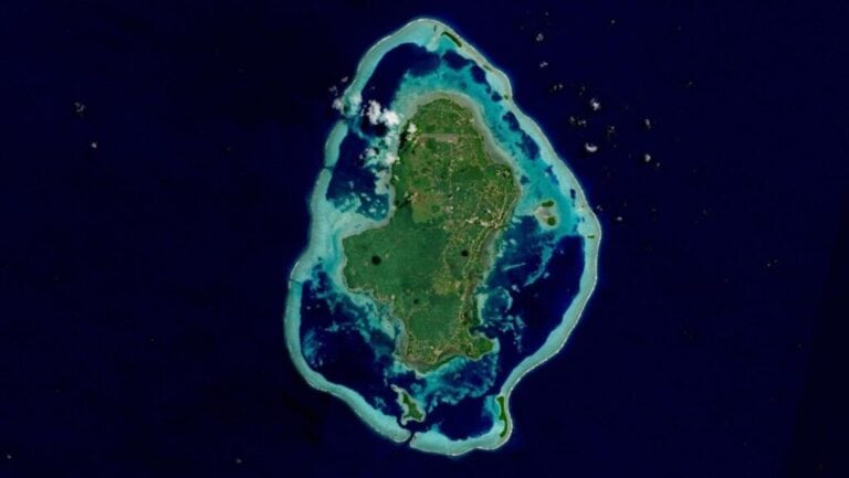
Microsoft’s Planetary Computer provides access to a multi-petabyte catalog of global environmental data. The NASA HLS dataset combines images from the Landsat-8/9 and Sentinel-2A/B satellites, providing a seamless, high-resolution view of our planet.
The dataset was developed based on needs identified by the US Satellite Needs Working Group. This collaboration between NASA and Microsoft represents a significant step forward in the accessibility of climate data.
AI co-pilot assists with data analysis
NASA IMPACT and Microsoft jointly developed a prototype of NASA Earth Copilot. This AI assistant helps scientists and policymakers discover geospatial data through natural language. Instead of complex queries, users can ask simple questions. Examples include “What was the impact of Hurricane Ian on Sanibel Island?” or “How did the COVID-19 pandemic affect air quality in the US?”
The AI retrieves relevant datasets, making the process more intuitive. This saves researchers time when retrieving data, allowing them to focus on analysis and discoveries. It also makes it easier for teachers to engage students in Earth Science.
Practical applications and impact
By combining HLS data with Azure AI, machine learning, and high-performance computing, users can develop a wide range of applications. Think of automated land cover classification, vegetation monitoring, or detecting urban development and deforestation.
The new possibilities open the door to innovation across various sectors. Agricultural companies can improve crop monitoring, while water managers can use resources more efficiently. Entrepreneurs have opportunities to develop commercial applications around Earth observation.
It will become easier for policymakers to make informed decisions about climate change, urban development, and disaster preparedness. The cloud-based approach offers scalability previously unthinkable.
Training and support
Microsoft and NASA offer comprehensive training materials to help organizations make the most of these capabilities. Sample projects are available on GitHub, including building your own Earth Copilot and exploring HLS data using GitHub Copilot.
The combination of NASA’s expertise in Earth observation with Microsoft’s cloud and AI technology promises to radically change the future of climate science.