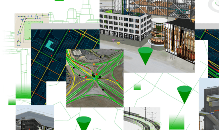
Software vendors Esri and Autodesk are introducing a joint solution that links geographic information (GIS) systems to Building Information Modeling (BIM) systems. Thereby, end-users can obtain real-time status updates on the progress of construction projects anytime and anywhere.
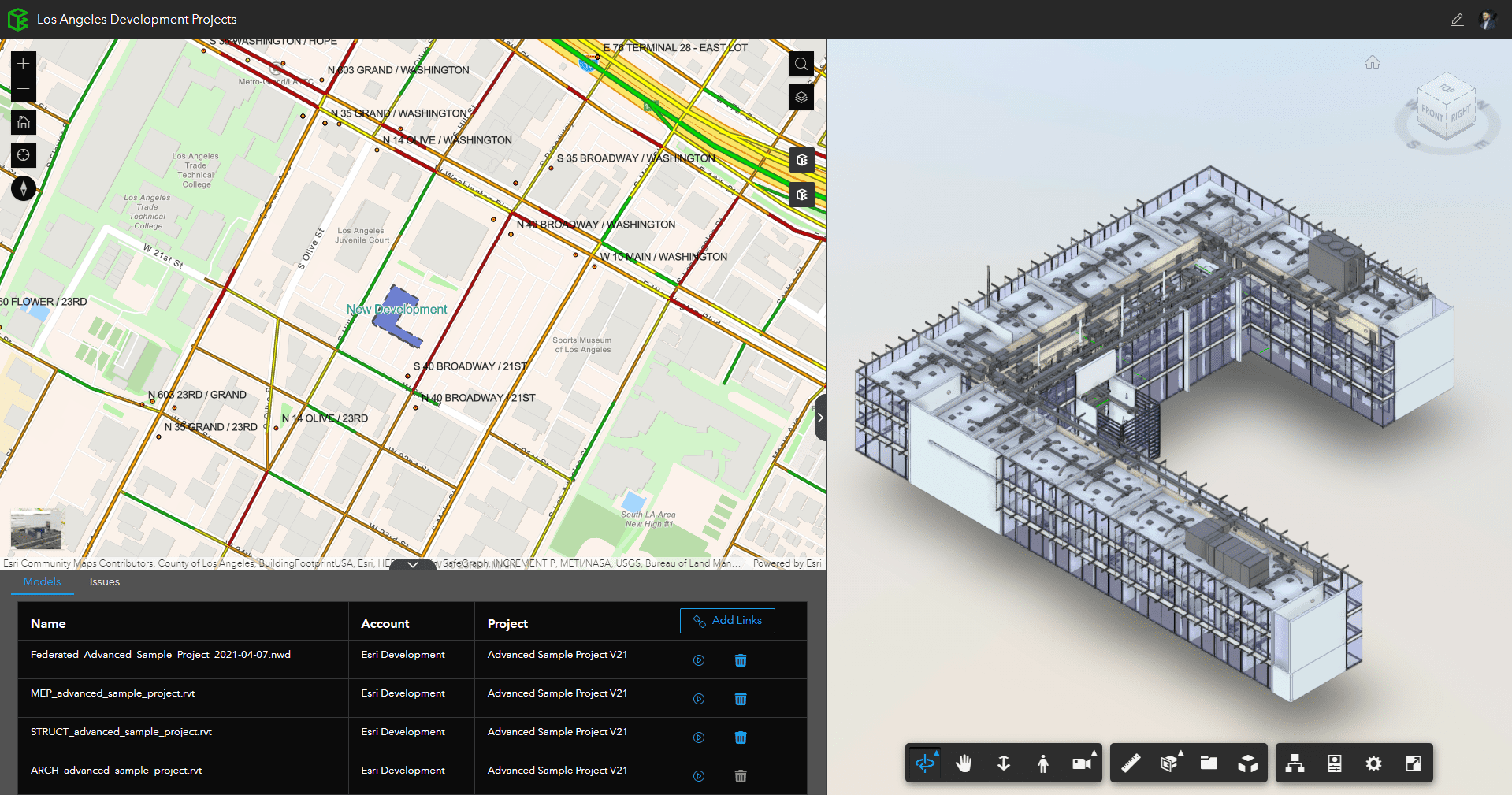
The link between both systems in the cloud-based tool ArcGIS GeoBIM, a fusion of Esri’s ArcGIS environment and the Autodesk Construction Cloud, literally maps information from one or more BIM projects or portfolios. This makes data from construction projects up-to-date and usable without specialist knowledge.
Functionality
Specifically, a web-based application provides access to dynamic BIM sets residing in the Autodesk Construction Cloud environment. The Autodesk Forge Viewer provides the ability to view documents and models in the spatial context of the project site.
Also, the ArcGIS GeoBIM creates searchable files and folders from Autodesk’s BIM 360 solution or the Autodesk Construction Cloud. The tool provides direct links to this data, making up-to-date information from multiple systems available. It prevents users from having to switch between systems or files and reduces the amount of data they need to convert, move or duplicate.
Shareable
ArcGIS GeoBIM also makes it easier to share all (construction) information with other stakeholders in the building process. The application is easy to configure and the information is presented in a user-friendly way.
ArcGIS GeoBIM is available immediately for customers using the Autodesk Construction Cloud environment.