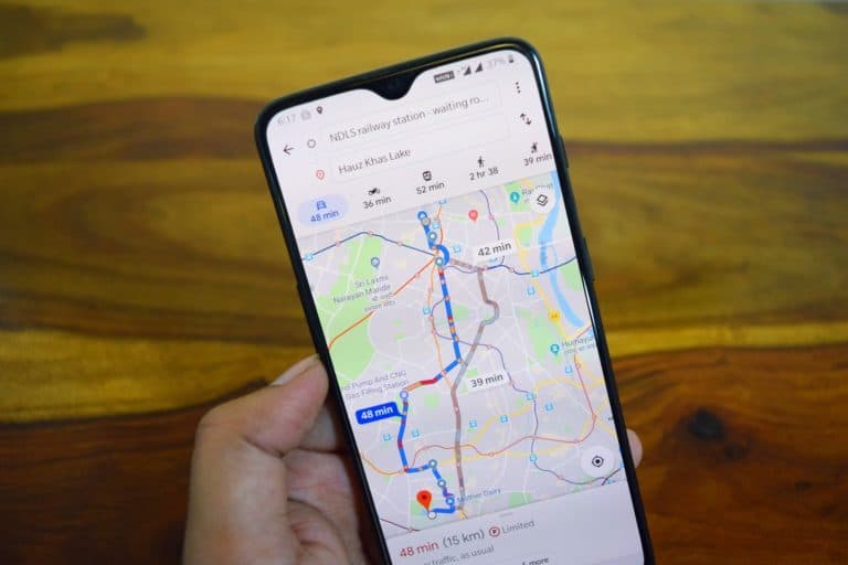
Google is testing displaying traffic lights in the Google Maps Android app. The test is currently taking place in several United States cities.
One of the features that could improve the ability of Google Maps to take possible delays caused by traffic lights into account. Google told Android Authority: “To help people stay better informed on the road, we’re testing a Google Maps feature on Android that shows the location of traffic lights in select cities across the US.”
Google has also confirmed that New York, San Francisco, Los Angeles and Chicago will be the first cities where the feature will be rolled out. Other places will be added in the future.
Faster to your destination
For the time being, the function is limited to showing the traffic lights. It is then up to Google Maps users to determine whether this change will make the overall design of routes in Google Maps better or worse. It is still unclear whether Google actually intends to add extra travel time to a particular route in the future depending on the number of traffic lights (or the ability to choose a route with the fewest traffic lights).
The cities where the feature will be rolled out first will make for a good test case, as the different American cities have different types of traffic lights. Such as displaying a timer at traffic lights.
